Violent Winds and High Waves Expected to Batter French Coasts
France is bracing for a period of intense weather, with strong winds and significant wave activity expected across its Atlantic, Channel, and Mediterranean coasts. Authorities are urging extreme caution, particularly near the sea.
Atlantic Coast: Gale-Force Winds and Rough Seas
The Atlantic coast will be the first to feel the impact, with gusts reaching 100-110 km/h on exposed areas Wednesday night into Thursday. The strongest winds are anticipated Thursday morning, associated with unstable air masses and frequent thunderstorms. Gusts could peak at 120-130 km/h along the Nouvelle Aquitaine coastline. While wind speeds will decrease slightly in the afternoon, gusts of 90-110 km/h are still expected.
Channel Coast: Winds Intensifying Overnight
The English Channel coast will see winds strengthening overnight Wednesday into Thursday. The strongest gusts are expected between late night and morning in the western Channel, and in the afternoon in the eastern part. Expect gusts of up to 110 km/h on the Brittany coast and 120-130 km/h between Cotentin, the Seine-Maritime coastline, and the Opal Coast. The wind will gradually subside in the evening.
Mediterranean: Tramontane Wind and Tempestuous Conditions
In the Mediterranean, the Tramontane wind will arrive abruptly around midday on Thursday, with gusts of 100-120 km/h, potentially reaching 130-140 km/h on Cap Béar. The strongest winds are expected in the early afternoon before gradually weakening. Between Provence-Côte d’Azur and Corsica, westerly winds will intensify significantly from late afternoon, with tempestuous conditions expected in Corsica Thursday evening and night. Wind gusts could reach 110-140 km/h on the island’s extremities and even 150-160 km/h on Cap Corse.
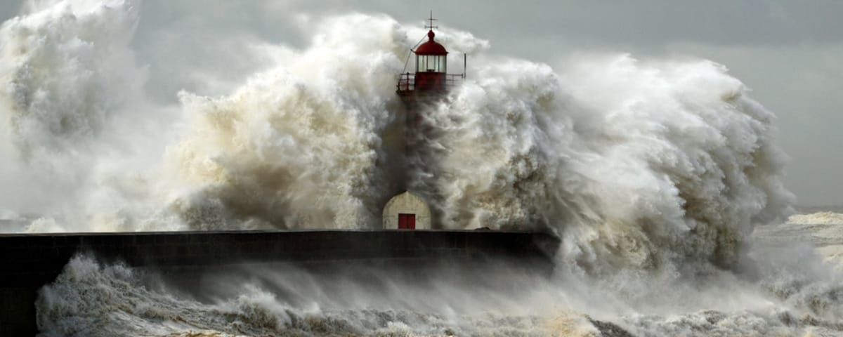
High Waves and Potential Coastal Flooding
Under the influence of the weather system, sea conditions will deteriorate rapidly, with a strong swell arriving on Thursday morning in the Bay of Biscay, where the sea will become very rough. Waves of 5-7 meters are expected on the Aquitaine coast and 4-5 meters between southern Brittany and the Charente coastline. Strong sea conditions will persist throughout the day before improving on Friday.
In the Channel, the strongest waves are expected in the afternoon on Thursday, generally around 3-4 meters on exposed coasts, and locally up to 5 meters on the Cotentin, Albâtre, and Opal coasts.
In the Mediterranean, the strongest sea conditions are expected between Thursday afternoon and Friday morning. The most powerful waves will affect a large area between PACA and Corsica, with waves potentially reaching 5 meters.
These large waves across all marine areas could lead to coastal flooding in the most exposed zones.
Safety Advice for Coastal Areas During the Storm
Authorities are issuing the following safety advice for those in coastal areas:
- Closely monitor weather forecasts.
- Postpone all sea trips between Wednesday evening and Friday morning.
- Secure boats in ports.
- Avoid approaching the shoreline during high tide, as waves may submerge dikes, jetties, and exposed coastal roads.
- Report any dangerous situations by calling 196 (the emergency number at sea).
- Even if the wind calms down, wait for sea conditions to become safe again.
- Thoroughly inspect boats after the storm and before returning to sea.
Enjoyed this post by Thibault Helle? Subscribe for more insights and updates straight from the source.